
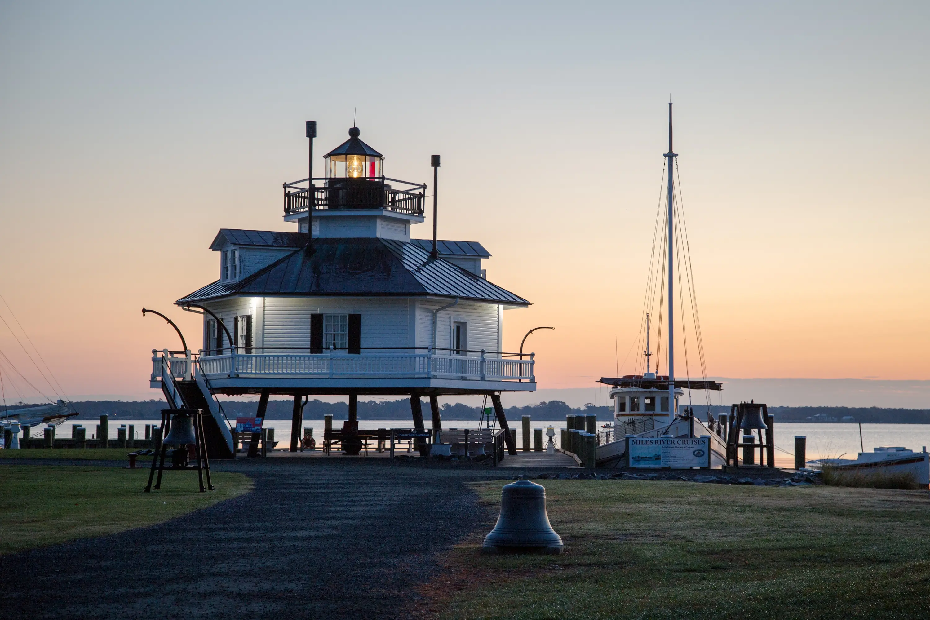
Talbot County sits on Maryland’s Eastern Shore–it’s easy to reach but feels a world away. Arrive by car over the Chesapeake Bay Bridge, touch down at nearby major airports, or cruise in by boat to our welcoming marinas. Once here, walkable historic towns and scenic byways make travel a pleasure, not a chore.
Getting here
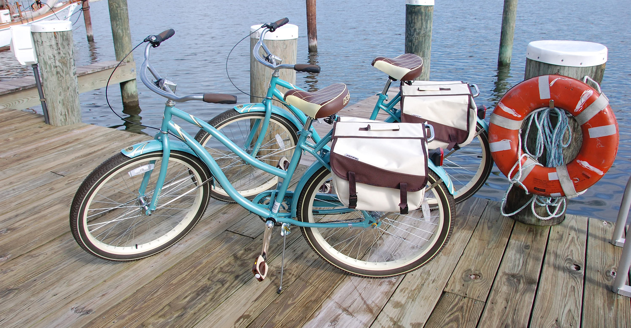
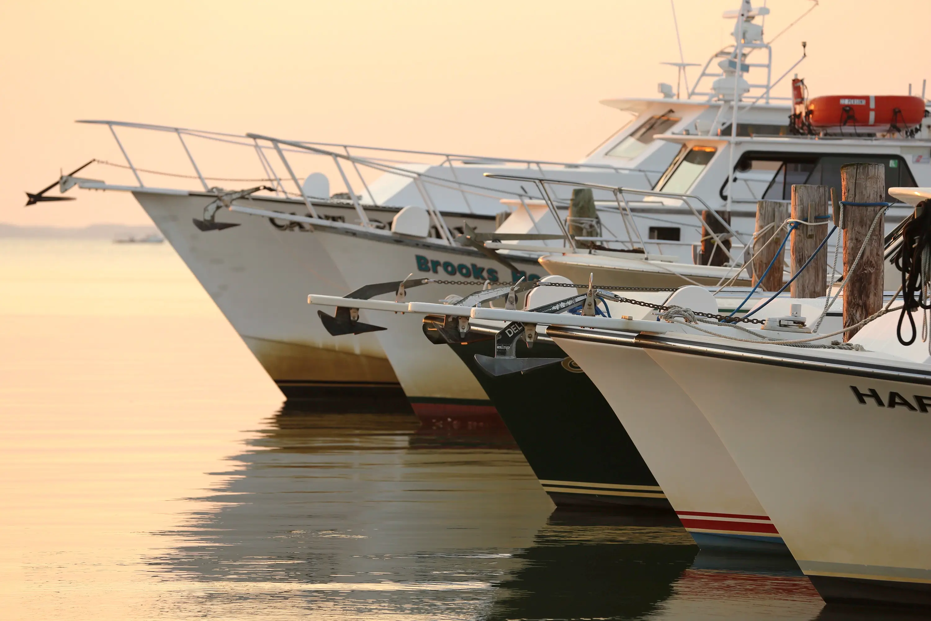
By Water
With more than 600 miles of shoreline, Talbot County is a boater’s paradise. The western edge meets the Chesapeake Bay, while the Wye, Miles, Tred Avon, Choptank, and Tuckahoe Rivers traverse the landscape. You’ll find marinas and boatyards throughout the county ready to welcome visiting vessels, along with dock-and-dine slips and full-service facilities that make it easy to tie up and step ashore.
Getting here
By Land
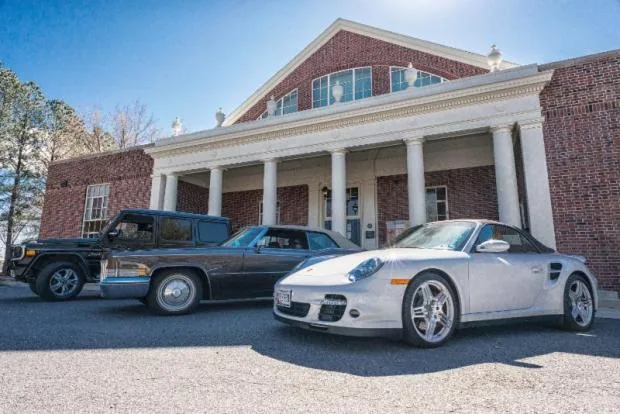
Located on the Eastern Shore of the Chesapeake Bay, Talbot County is an easily accessible Mid-Atlantic location. Talbot County is only ninety minutes away from Baltimore or Washington D.C. via the Chesapeake Bay Bridge, is under two hours from Philadelphia, and less than four hours from Richmond, VA.
Getting here
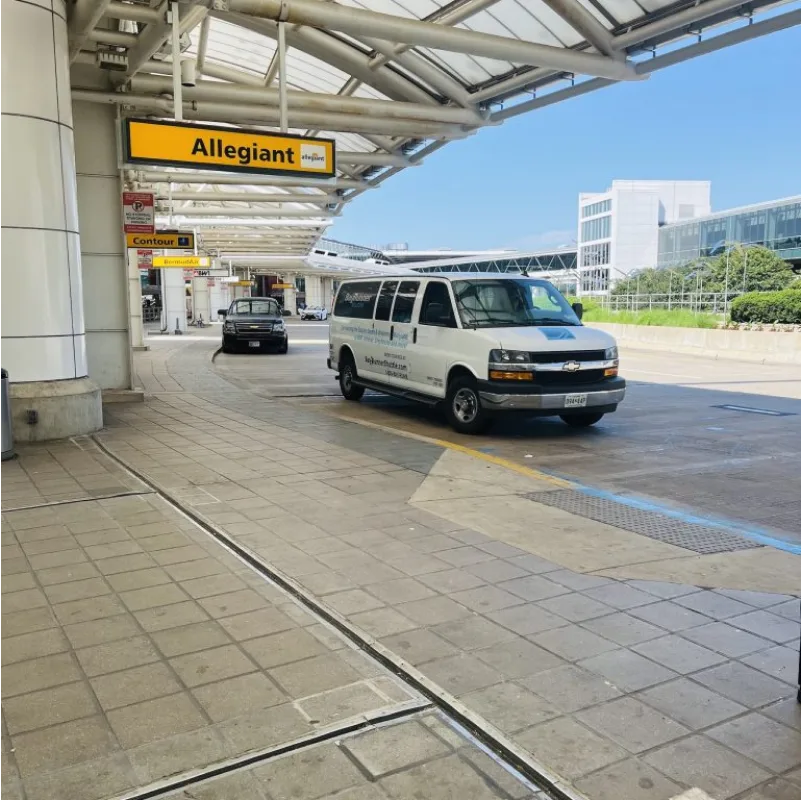
By Air
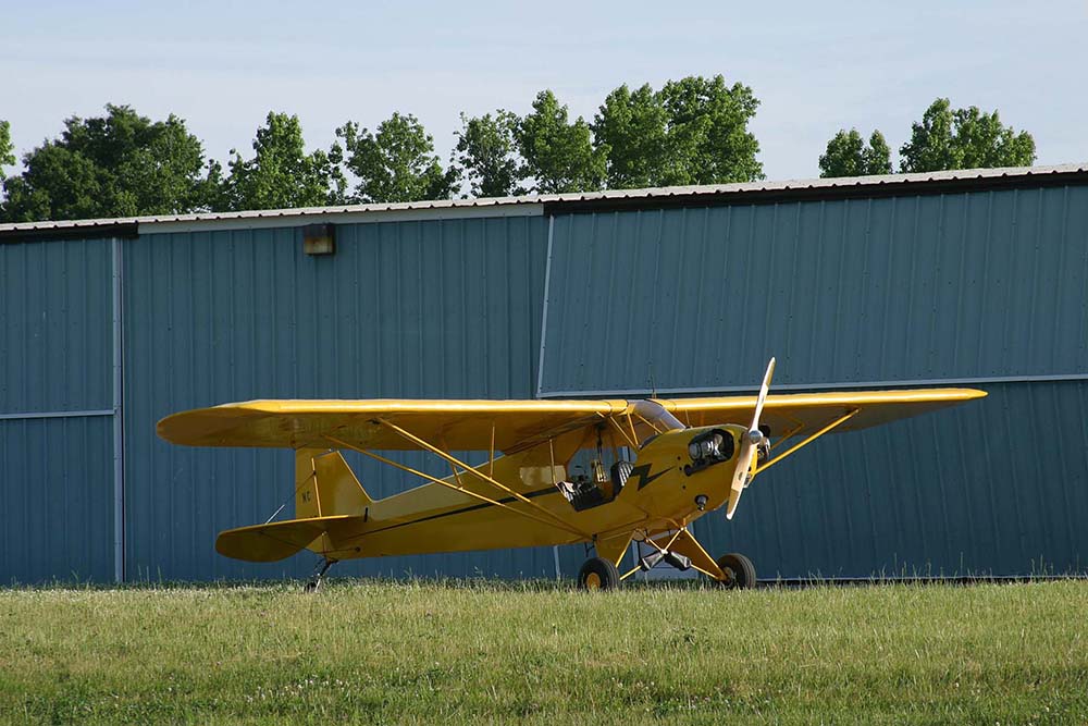
Private and charter flights make it easy to touch down close to the action at the Easton/Newman Airport (ESN). Nearby, Baltimore/Washington International (BWI), Reagan National (DCA), and Dulles (IAD) connect Talbot County to the world. From these runways, you’re less than two hours from water views, historic streets, and the relaxed rhythm of the Eastern Shore.
-
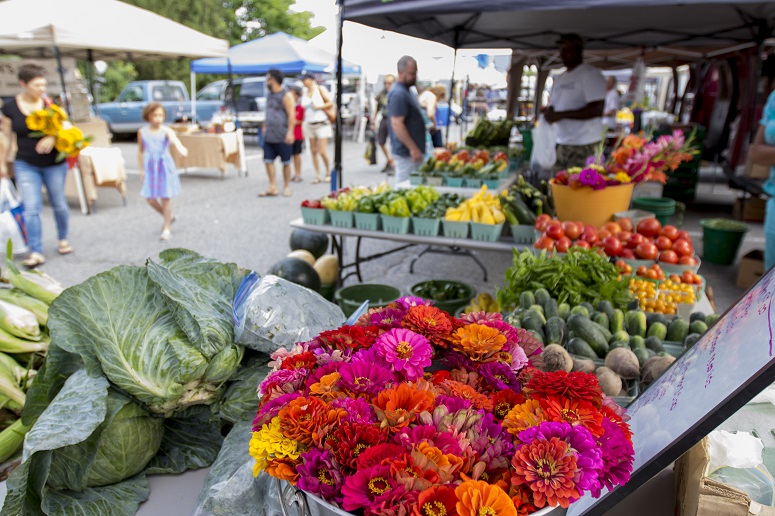
Farm Fresh Finds at Farmer’s Markets, Outdoor Concerts, Movies and Events in Talbot County
Read more: Farm Fresh Finds at Farmer’s Markets, Outdoor Concerts, Movies and Events in Talbot County -

Where to Enjoy Maryland Crabs
Read more: Where to Enjoy Maryland Crabs
Explore Talbot
Start Your Stay
Stress-Free
Find exactly what you need to get here smoothly. Explore Marinas for transient slips, fuel, and services; check Land Transport for driving routes, parking, EV charging, and motorcoach details; or Contact our team for tailored guidance, permits, and logistics support.
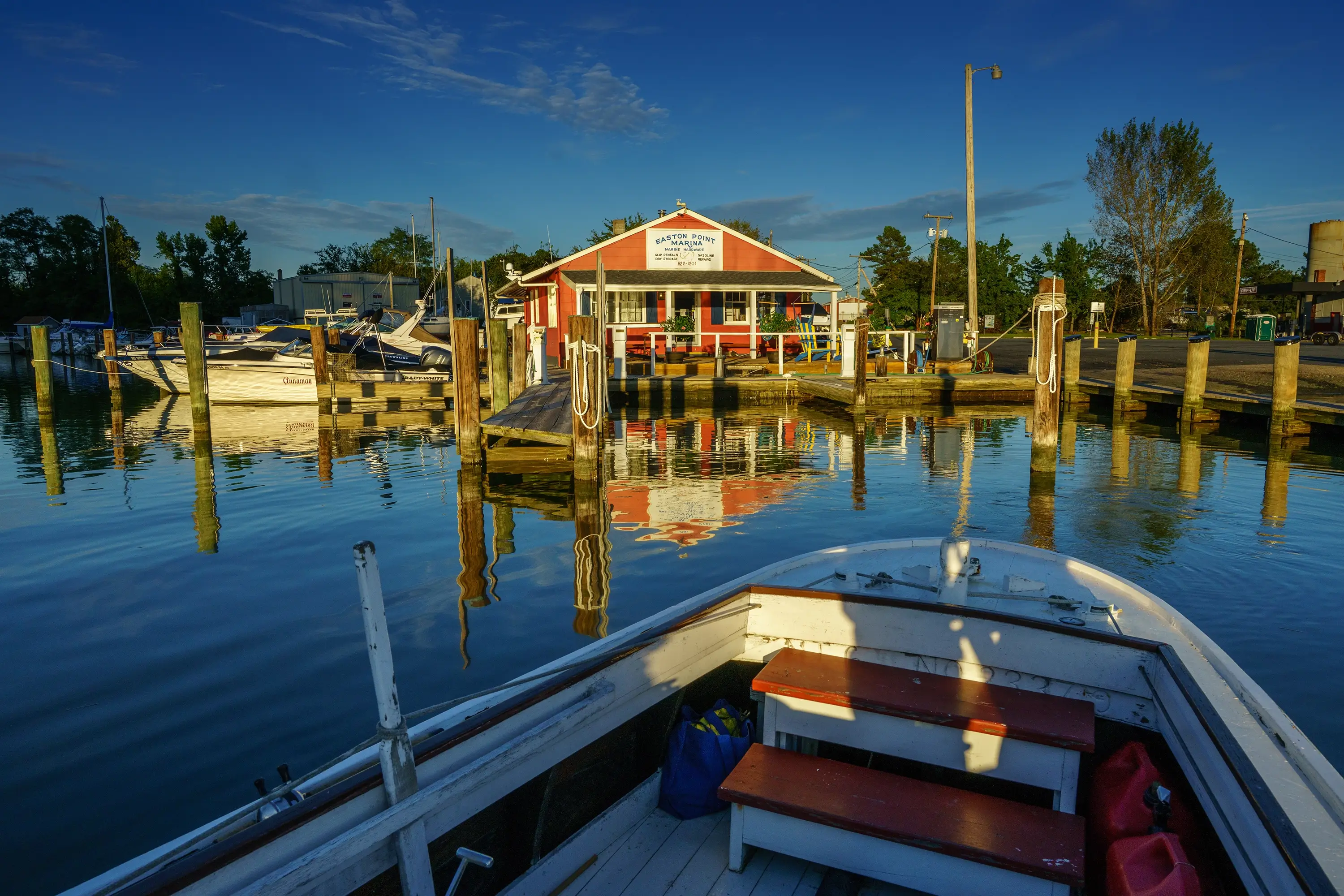
Marinas
Land Transportation
Contact Us
Questions About Getting
to Talbot County
How do I get around once I’m in Talbot County?
Most visitors drive or rent a car, but our towns are walkable and bike-friendly. You’ll also find marinas with dock-and-dine slips, seasonal shuttles during events, and plenty of scenic routes for cycling.
When is traffic heaviest on the Chesapeake Bay Bridge?
Peak summer weekends (Friday afternoons and Sunday evenings) can be congested. Plan for extra time or consider arriving midweek or off hours for a smoother trip.
Where can I park in town?
Easton, St. Michaels, and Oxford all offer public parking lots and street parking. Look for designated long-term spots near marinas and town centers.
Are EV charging stations available?
Yes — you’ll find charging stations in Easton and other town centers, as well as at some hotels and marinas.
What’s the easiest way to get here by car?
Most visitors drive via U.S. 50 across the Chesapeake Bay Bridge onto the Eastern Shore, then follow signs to Easton, St. Michaels, Oxford, or Tilghman Island.
Which airports are closest?
Baltimore/Washington International (BWI) and Reagan National (DCA) are the nearest major airports; Salisbury (SBY) is a regional option. Easton Airport (ESN) serves private and charter flights.
Can I arrive by boat?
Absolutely. Marinas and public landings serve transient boaters, especially around St. Michaels, Oxford, and Tilghman. Confirm slips, channel depths, and services in advance.