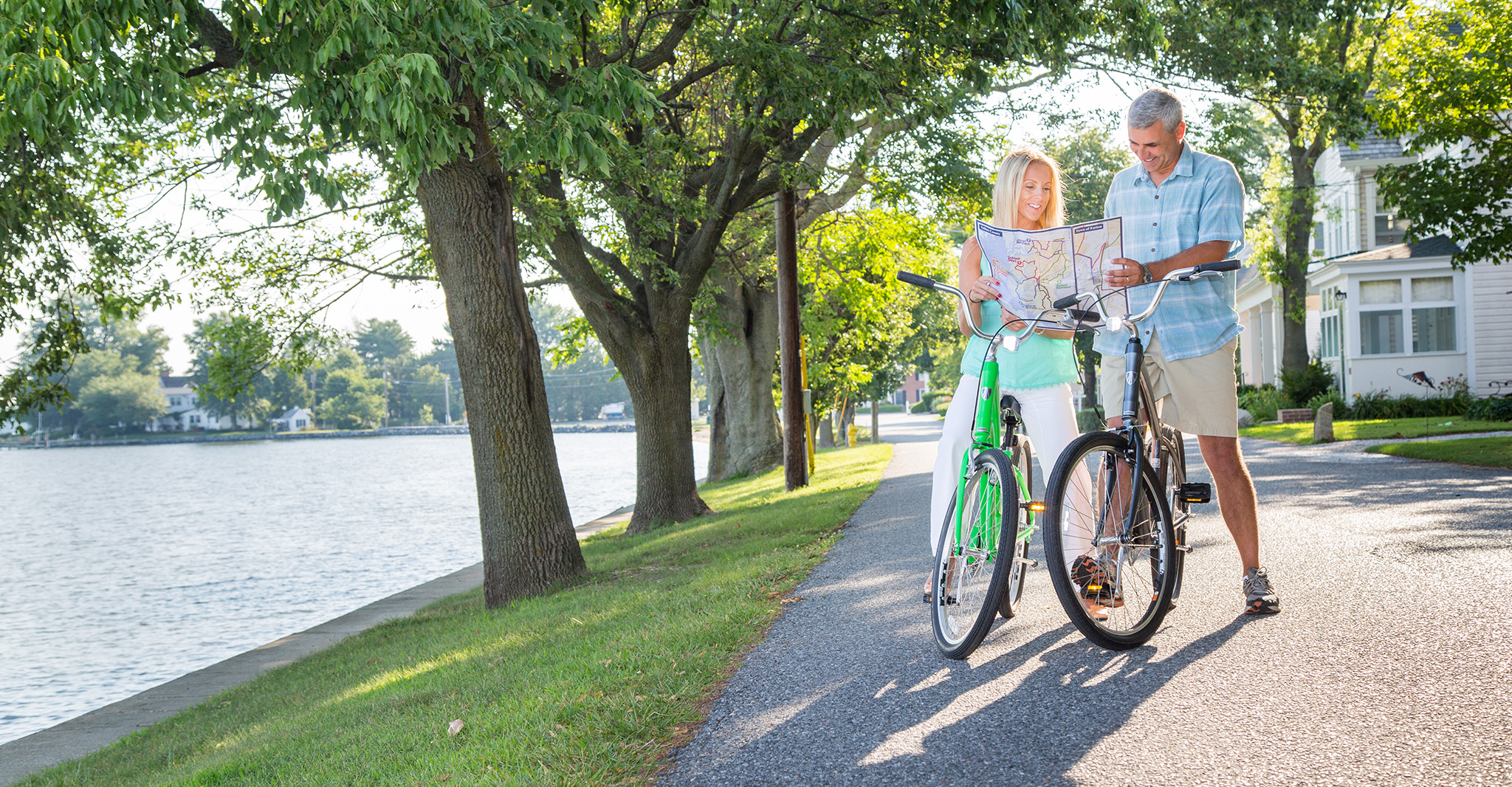
Take a ride on our Eastern Shore byways!
From sprawling farm land to Chesapeake Bay views, and even a ride on the oldest privately owned ferry in the nation, our Talbot County Bike Map will help you find the path that’s right for you. Along the way you may even see sailboat races, herons and eagles, and great stops to get you refueled.

Six Different Routes
Here is a peek of the six different routes you can ride:
School Days (28.3 miles): This ride takes you outside of Easton into the surrounding farmland with a side trip to the Pickering Creek Audubon Center. Ride highlight is the Little Red Schoolhouse in Longwoods.
Chesapeake Views (38.2): A treat of a ride around the old fishing villages along the route to Tilghman Island, the furthest point of the island providing expansive views of the Chesapeake Bay.
Check out the entire Talbot County Bike Map here.